The Last People Who Could Actually Get Lost: What GPS Took From the American Road Trip
Picture this: 1987, somewhere in rural Ohio. A family sedan is pulled over on the shoulder of a state highway. The dad is holding a folded road atlas across the steering wheel, running his finger along a tangle of county roads while the kids argue in the back seat. The mom is looking out the window for a landmark that matches the handwritten directions from her sister. Nobody knows exactly where they are. Nobody is panicking. This is just what driving somewhere new looked like.
That scene is essentially extinct. And we replaced it so smoothly that most people under 35 have never experienced a version of it. That's worth thinking about.
The Age of the Folded Map
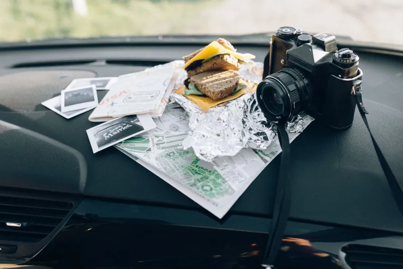
For most of the twentieth century, navigating America required a combination of tools and skills that people developed gradually, through use. Road atlases — the big, satisfying Rand McNally kind — lived in the back seat or the trunk. Gas stations sold state maps for a dollar. Glove compartments were stuffed with creased, annotated, occasionally coffee-stained regional guides.
Using these tools required spatial reasoning. You had to hold a mental model of where you were in relation to where you were going. You had to understand scale, read cardinal directions, and make judgment calls when your information was incomplete or out of date. Getting from Chicago to Nashville without a wrong turn wasn't guaranteed. It was an accomplishment.
And when you got genuinely lost — which happened — you asked someone. You stopped at a diner, a hardware store, a gas station, and you talked to a person who lived there. They gave you directions in the local idiom: "Go past the old Massey farm, turn left at the water tower, you can't miss it." Sometimes you could miss it. But the interaction was real, and the knowledge you gained was embedded in a human exchange.
This was inefficient by every measurable standard. It was also, in ways we've only started to appreciate, deeply formative.
What Your Brain Was Doing
The hippocampus is the part of your brain most associated with spatial navigation. It builds and maintains what neuroscientists call "cognitive maps" — internal representations of space that let you know, even without looking, roughly where you are in relation to where you've been. Taxi drivers in London, famously, show enlarged hippocampal volume after years of navigating the city's labyrinthine streets from memory. The brain physically grows to accommodate the skill.
GPS doesn't build cognitive maps. It replaces them.
Researchers at University College London found that people using GPS navigation showed significantly less hippocampal activity than those navigating without assistance. A 2020 study published in Nature Communications found that reliance on GPS was associated with reduced spatial memory performance over time. The brain, efficient as it is, stops maintaining a skill it's no longer asked to use.
This isn't a minor footnote. Spatial reasoning is connected to a broader cluster of cognitive abilities — problem-solving, abstract thinking, the capacity to orient yourself in novel environments. When we outsource navigation entirely, we may be doing more than just saving time on road trips.
The Stranger at the Gas Station
There's a social dimension to this that gets even less attention than the neuroscience.
Asking for directions used to be a regular feature of travel in America. It was a low-stakes social interaction with high informational value. The person behind the counter at a rural convenience store didn't just know how to get to the interstate — they knew which stretch of road flooded after rain, which diner was actually worth stopping at, whether the campground you were looking for was still open. They were a local node in a knowledge network that no map captured.
Those interactions also humanized travel. They connected you to the place you were passing through. You left with a name, a recommendation, sometimes a story. The town became real to you in a way that a blue line on a phone screen simply cannot replicate.
Today's GPS-guided traveler passes through that same town without slowing down. The route is optimized. The detours are eliminated. The stranger at the gas station is never consulted. The efficiency is total. The experience is thinner.
What Tourism Lost
Travel writers have been noting for years that GPS-era tourism tends toward the curated and the validated. You go where the app sends you. You eat where the ratings are highest. You follow the blue line to the attraction and the blue line back to the hotel. The serendipitous discovery — the roadside stand, the unmarked overlook, the diner that's been there since 1952 and has no Yelp presence — requires the willingness to deviate from the route. And deviating from the route feels, to a GPS-conditioned traveler, vaguely wrong.
There's even a term for this in geography circles: "GPS tunnel vision." The phenomenon where travelers follow directions so faithfully that they miss obvious alternatives, better routes, or interesting detours that would have been obvious to anyone reading a map with their own eyes.
The clock delta here is sharp. Forty years ago, getting from point A to point B was an active, skill-dependent, socially embedded experience. Today it's a passive one. You follow instructions. The road does not surprise you because you've already been told what's coming.
Getting Gloriously, Productively Lost
None of this is a case for throwing your phone into the glove compartment and navigating by the stars. GPS is one of the genuinely transformative technologies of the last thirty years, and the reduction in wrong turns, wasted fuel, and travel stress is real and meaningful.
But the old American road trip — the one where you might end up somewhere you didn't plan, talking to someone you'd never otherwise have met, figuring out where you were by looking at the actual landscape — contained something that pure efficiency can't replace. It built confidence in unfamiliar territory. It created memories anchored to real problem-solving. It made the traveler an active participant in the journey rather than a passenger in their own car.
The best navigation isn't always the fastest route. Sometimes it's the one that requires you to actually pay attention to where you are.