Two Thousand Miles of Mud, Motels, and Miracles: How America Learned to Drive Across Itself
Two Thousand Miles of Mud, Motels, and Miracles: How America Learned to Drive Across Itself
Pull up Google Maps right now and ask it how long it takes to drive from New York City to Los Angeles. It'll tell you around 40 hours — roughly two and a half days if you're making decent time and not stopping too long for gas. Most people could do that trip over a long weekend without thinking too hard about it.
Sixty years ago, that same journey was a completely different proposition. It wasn't a weekend getaway. It was a commitment measured in weeks, not days, and the road itself could genuinely beat you.
Before the Interstates: The Route 66 Reality
In the early 1950s, if you wanted to drive coast to coast, you were largely dependent on a patchwork of state and local roads that had been stitched together over decades with wildly inconsistent results. Route 66 — the famous "Main Street of America" — was one of the primary westbound arteries, stretching from Chicago through Missouri, Oklahoma, Texas, New Mexico, and Arizona before dropping you into Southern California. It was iconic. It was also, in many stretches, a narrow, poorly maintained two-lane road that wound through the centers of dozens of small towns, each with their own traffic lights, speed limits, and the kind of congestion that came from sharing the road with local farm traffic.
The full New York to LA distance by the most common routes ran somewhere between 2,700 and 3,000 miles depending on how you pieced it together. Average speeds on those roads, factoring in towns, terrain, and road quality, rarely exceeded 35 to 40 miles per hour for sustained periods. Do that math and you're looking at a minimum of 10 to 12 days of hard driving — and most travelers weren't pushing 10 hours a day behind the wheel on roads like those.
Two to three weeks was a realistic expectation for a family making the trip with any degree of comfort.
What the Road Actually Felt Like
The practical challenges went well beyond slow speeds. Road surfaces varied dramatically — you might enjoy a freshly paved stretch through one county and hit gravel or packed dirt in the next. Signage was inconsistent. Getting genuinely lost wasn't a quirky inconvenience; it was a real possibility that could cost you half a day.
Breakdowns were common, and finding a mechanic who could help with your specific vehicle wasn't guaranteed in rural stretches of the Southwest. Smart travelers carried spare parts, extra water (both for themselves and for radiators that ran hot on desert grades), and physical road maps — plural, because no single map covered the whole country at useful detail.
Accommodation was a rolling negotiation. The motel industry was still young and uneven in quality. Some nights you'd find a clean, reasonable roadside motor court. Other nights the options were considerably less appealing. Chain hotels with predictable standards barely existed. You took what you found.
And fuel? Gas stations existed along the major routes, but spacing could be unpredictable enough that experienced travelers tracked their fuel carefully and didn't let the tank drop too low.
Eisenhower's Grid Changes Everything
The Federal Aid Highway Act of 1956 didn't just build roads. It fundamentally reordered the relationship between Americans and their geography.
President Eisenhower had been influenced, partly, by his experience watching the German Autobahn during World War II — a high-speed, limited-access highway network that allowed for rapid movement of vehicles and equipment. He wanted something similar for America, partly for defense logistics, partly for economic development. What emerged was the Interstate Highway System: a 41,000-mile network of divided, limited-access highways with standardized design, consistent signage, and — crucially — no traffic lights, no sharp curves, no railroad crossings at grade.
Construction rolled out through the late 1950s and 1960s. By the mid-1970s, the core network was largely in place. The effect on cross-country travel was transformative.
Where Route 66 threaded through the middle of Amarillo and Flagstaff, the interstates bypassed population centers entirely. Where two-lane blacktop had forced drivers to slow for curves and grades, the new highways were engineered for 70 mph sustained travel. The drive from New York to Los Angeles — now running primarily on I-80 or I-40 depending on your preferred corridor — shrank from a multi-week undertaking to something achievable in three or four days of steady driving.
The Trip Today
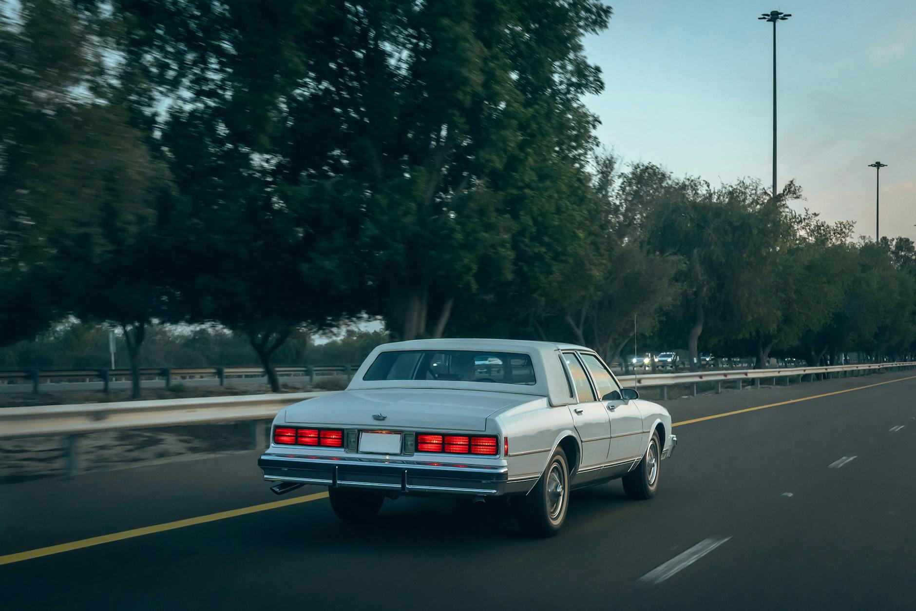
Modern cross-country drivers operate in a completely different world. Navigation is handled by a phone that recalculates in real time if you miss an exit. Rest stops appear at reliable intervals. Chain hotels and fast-food restaurants cluster around every major interchange with the kind of predictable consistency that makes planning almost unnecessary. Your car's onboard computer will tell you if something's about to go wrong before it does.
The I-40 corridor — which largely follows the old Route 66 path — covers the southern route in around 2,800 miles. At highway speeds with reasonable stops, most drivers complete it in 40 to 45 hours of actual driving time, spread across three or four days.
The cost comparison is interesting too. In inflation-adjusted terms, fuel costs have actually dropped significantly since the 1950s, and the efficiency of modern vehicles means you're burning less of it per mile anyway. A motel along the interstate corridor might run $80 to $120 a night at a recognizable chain — not cheap, but predictable.
What Got Lost Along the Way
There's a reason Route 66 still draws nostalgic travelers and has its own museum circuit. The old road had a texture to it — a forced intimacy with the places you passed through — that the interstate system deliberately engineered away. When you bypass a town at 75 mph, you don't stop for lunch there. You don't meet anyone who lives there. The efficiency that makes modern road trips so manageable also makes them, in some ways, more anonymous.
That's not a reason to wish the interstates away. The economic development they enabled, the lives saved through safer road design, the simple fact that ordinary families can now travel freely across an enormous country — those are genuine, lasting gains.
But it's worth pausing, somewhere around the Texas Panhandle with the flat horizon running to the edge of the sky, to consider what it took to make this feel routine. Someone drove this before the pavement was continuous. They carried their own water. They weren't sure where they'd sleep.
The clock moved fast on this one.